Resources
Princeton is an unusually rich locale to explore land history — partly because the written and mapped record runs so deep, but mostly because so many enthusiasts have worked to keep that record available. New Jersey is among the densest states in the country, and its civil records are held at national, state, county, and municipal level, covering physical geography, legal title, engineering overlays, and an aerial and satellite survey going back decades. The material assembled here comes from many repositories, among them the Princeton University Library map collection, USGS orthophotoquads and topographic sheets, the State of New Jersey’s imagery program, and the federal agricultural imagery program.
Books
-
 I Hear My People Singing
Voices of African American Princeton — fifty-odd first-person accounts of the Witherspoon-Jackson neighborhood. Kathryn Watterson, with a foreword by Cornel West · Princeton University Press, 2017.
-
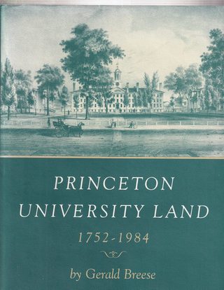 Princeton University Land, 1752–1984
The 232 years over which the university assembled its campus, beginning with four and a half acres in 1752. Gerald Breese · Princeton University Press, 1986.
-
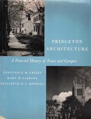 Princeton Architecture
A pictorial history of town and campus, in 194 photographs of buildings that mostly still stand. Constance M. Greiff, Mary W. Gibbons & Elizabeth G. C. Menzies · Princeton University Press, 1967.
-
Princeton Public Library
Not a book but the room they are in: Princeton and Local History: A Resource Guide opens up the Princeton Room — books, maps, census records, microfilm newspapers, city directories. Dana Treichler’s posts take up particulars: The spring on Spring, on Spring Street and Vandeventer Pond, and On the move, on the houses Princeton has picked up and put down elsewhere.
Enthusiasts
-
Papers of Princeton
City council meetings, zoning debates, letters to the editor. Everything that is happening now has happened already.
-
West Windsor Historical Society
Exceptional deep dives, notably on Princeton Basin and the Dinky.
-
Historical Society of Princeton
Photography, objects, and manuscript collections.
-
Witherspoon-Jackson Historical & Cultural Society
Stewards of the historic Witherspoon-Jackson neighborhood.
-
Princeton Magazine
Occasional local history with lush photography, including Pyne & Gildersleeve and Princeton Basin.
-
Road Maps of New Jersey
From Nova Cæsarea: A Cartographic Record of the Garden State, 1666–1888 — Princeton University Library’s Historic Maps Collection.
Geospatial sources
-
USGS EarthExplorer
Aerial Photo Single Frames, 1937–present, and historical topographic sheets.
-
USGS TopoView
Every edition of every USGS topographic quadrangle, browsable by place and date.
-
NJGIN Imagery
New Jersey statewide orthophotography, 1930s to today.
-
Princeton University Library Maps
Georeferenced Sanborn sheets, atlases, and surveys — the source of much of the Spy View stack.
-
Mercer County Property Info
Property record cards: age, construction, and alterations of individual structures.
-
Mercer County Records
Current and historic ownership, deeds, and mortgages.